Snowdesk
Avalanche bulletins across the Alps, on one map.
Read today’s danger for where you are going, in the same layout whichever country issued it — with the weather, your routes and offline maps beside it.
Three countries, one way to read them
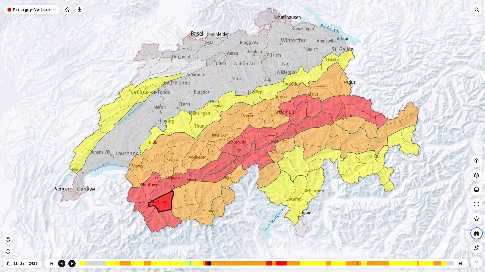
SLF in Switzerland, ALBINA for Austria, South Tyrol and Trentino, and Météo-France for the French Alps each publish a bulletin in their own format. Snowdesk shows every one of them in full, in the same layout, so a tour that crosses a border reads the same on both sides.
Today, and the season behind it
Tap a region for its danger level, its avalanche problems and the aspects and elevations they sit on. Scrub back through the season to see how the snowpack got here — a quiet week reads differently after a storm cycle.
Weather where you are going
A forecast for the village, the lift station and the summit of each resort, next to the bulletin for the same slopes — so the new snow, the wind and the freezing level are in front of you when you read the danger.
Your routes on the same map
Upload a .gpx and see the line against the day’s danger and the slope it crosses. Pin the places and regions you go back to, plan a trip for a named day, and send the link to the people coming with you.
It still opens without signal
Add Snowdesk to your home screen and it opens like an app. Download the map for an area before you leave, and the bulletins you have read stay readable at the trailhead with no connection.
What people saw on the hill
Field reports from other readers — whumpfing, shooting cracks, pinwheels, wind-scoured snow — sit on the map beside the forecast. Add your own from your phone; it is sent when you are back in range.
The bulletin is the authority
Snowdesk does not write forecasts. Every danger level on it comes from the warning service that issued it, and it is shown as they wrote it. It is a faster way to read their work — not a substitute for avalanche training, a transceiver you can use, and partners who can use theirs.